New NCDOT map shows no highway construction in Tyrrell for 10 years
Published 7:00 pm Thursday, July 19, 2018
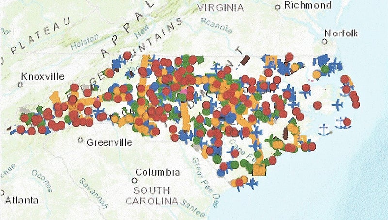
- The large white space at the upper right of this North Carolina Department of Transportation map shows that Tyrrell County has been omitted from all major highway construction in the next 10 years. The interactive map can be viewed at http://ncdot.maps.arcgis.com/home/item.html?id=5fbe955dbc3248e3bf4fb6ea6fd344de (contributed photo)
The State Transportation Improvement Plan map for 2018-27, updated June 28, shows a blank for Tyrrell County.
That means, among other things, the project to four-lane U.S. 64 between Columbia and Manns Harbor is not even on NCDOT’s radar for the next decade.
Leroy Spivey, chairman of the Tyrrell County Board of Commissioners, lamented July 9 that, over the past six years the U.S. 64 widening project “has gone from fully funded to non-existent.”
He recalled a public meeting that was held in St. John’s Church in Alligator in 2013 in which NCDOT representatives talked directly with landowners about soon buying their homes along the proposed right-of-way.
“And today it isn’t even on DOT’s radar,” he said.
Jim Smith, a Texan who, along with his wife, is residing for a while at his ancestral homestead in Tyrrell County, overheard Spivey and related this story:
A man died and rapidly descended to the nether world. When the door opened, he was aghast — a snowstorm was in progress and everyone visible was bundled up in parkas.
“What’s going on down here?” He asked incredulously.
And Satan replied, “They’ve just four-laned U.S. 64 between Columbia and Manns Harbor.”
More Scuppernong Reminder
SportsPlus
How to Pick the Hurricanes vs. Wild Game with Odds, Spread, Betting Line and Stats – January 4
Seeking best bets for the upcoming game between the Carolina Hurricanes and the Minnesota Wild on Saturday at…
How to Watch AAC College Basketball Games – Friday, January 3
The Wichita State Shockers versus the Temple Owls is the only game on Friday’s college basketball slate that…
Pistons vs. Hornets Prediction & Picks: Line, Spread, Over/Under – January 3
The Charlotte Hornets (7-25) are underdogs (by 5.5 points) to break a four-game road losing streak when they…
College Basketball Picks Against the Spread: AAC Games Today, January 3
Friday’s AAC college basketball lineup includes top teams in play. Among those contests is the Wichita State Shockers…
January 3 NHL TV Schedule: TV Channel, Start Times & Live Streaming Options
Friday’s NHL schedule has plenty of quality competition on the docket. Among those contests is the Ottawa Senators…
-
Polls
 Loading ...
-
-