Hurricane watch issued for eastern North Carolina
Published 10:17 am Tuesday, September 11, 2018

- (National Weather Service)
A hurricane watch has been issued for all of eastern North Carolina.
Hurricane Florence is forecasted to make landfall between North Topsail Beach and Morehead City late Thursday night to early Friday morning. The National Weather Service is expecting the extreme wind and storm surge throughout the region.
Life-threatening freshwater flooding is likely from a prolonged and exceptionally heavy rainfall event, which may extend inland over the Carolinas and Mid Atlantic for hundreds of miles as Florence is expected to slow down as it approaches the coast and moves inland, according to the National Hurricane Center’s 5 a.m. update.
Florence’s maximum sustained winds remain at 140 mph. NWS warns that winds could have devastating impact, especially along the coast. Residents can expect:
- structural damage to some sturdy buildings, some with complete roof and wall failure;
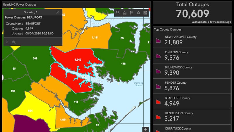
- widespread power and communications outages;
- roads impassable from large debris;
- numerous large trees snapped or uprooted along with fences and roadway signs blown over.
Maximum rainfall amounts of 15- to 20-inches-plus are possible. Currently, Beaufort County rainfall totals are predicted at 10 to 15 inches. Flash flooding will occur during the storm with major river flooding possible for days to weeks
All preparations for Florence should be completed by Wednesday evening. Tropical storm force winds could arrive as early as Wednesday night.
A state of emergency was declared by Beaufort County Board of Commissioners on Monday night. Beaufort County Emergency Services issued a voluntary evacuation on Monday, encouraging any occupant of Beaufort County to seek shelter away from the path of Hurricane Florence.
Find hurricane preparation information here.
More Hurricane Stories


SportsPlus
How to Watch East Carolina vs. Florida International on TV or Live Stream – December 17
The East Carolina Pirates (7-4) will look to snap a three-game losing skid when hosting the Florida International…
Lions, Bills, Week 16 NFL Power Rankings
Who is the team to beat at the top of the league entering Week 16 of the NFL…
Buy Tickets for Carolina Hurricanes vs. New York Islanders on December 17
Among the most exciting players to watch when the Carolina Hurricanes play the New York Islanders on Tuesday…
Discover the Best Week 16 NFL Player Prop Bets & Odds
There are several strong matchups on the Week 16 NFL schedule, including the Philadelphia Eagles taking on the…
Shayne Gostisbehere Player Prop Bets for the Hurricanes vs. Islanders Game – December 17
Shayne Gostisbehere will be in action when the Carolina Hurricanes and New York Islanders meet on Tuesday, December…
-
Polls
 Loading ...
-
-