Pungo River attracts its share of kayakers
Published 7:11 pm Wednesday, March 14, 2018

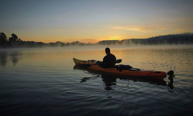
- PADDLING ALONG: Eastern North Carolina has many waterways, including the Pungo River and its tributaries, that attract kayakers and canoers. (N.C. Department of Commerce)
The Pungo River and its tributaries, including Wright’s Creek and Satterthwaite Creek, provide kayakers and canoers plenty of opportunities — from easy waters to navigate to observing an abundance of wildlife to paddle fishing.
The Pungo River kayak trail, which is 10.5 miles long, is classified as a class 1 trail with an easy skill level, according to the kayaking website Trails.com. The trail is among 2,500 miles of paddle trails in eastern North Carolina, according to the N.C. Department of Commerce’s tourism-related website — www.visitnc.com.
The river’s headwaters begin in the eastern part of Dismal Swamp in Washington County, about 10 miles south of Plymouth, flowing southeast. The river becomes the border between Beaufort and Hyde counties. After the river passes under the U.S. Highway 264 bridge at Leechville, it quickly widens. A little farther downstream, the river connects to the Alligator River via a canal that is about 20 miles long. That canal is part of the Intracoastal Waterway. At that point, the Pungo River is more than a mile wide. The Pungo River hosts the Intracoastal Water way as it makes its way by Belhaven, makes a southerly turn and joins the Pamlico River. By the time the Pungo River reaches the Pamlico River, its mouth is more than three miles wide.
“In the 1950s, the Pungo River Canal was dug to improve drainage for farmland in the upper Pungo watershed. The canal runs near the natural river channel,” writes Paul Ferguson in his guidebook “Paddling Eastern North Carolina,” which is published by Pocosin Press. “Pungo Lake is part of the Pungo National Wildlife Refuge and connects to the river by a canal. This eTrail contains 1 section of the Pungo River from NC 45 access to Riverside Campground access off Riverside Campground Road (Hyde Co. 1344).”
The Pungo, Pamlico and Tar rivers form the second-largest estuary on the East Coast, behind the Chesapeake Bay estuary. The local estuary and its adjacent lands offer access to habitats of aquatic life and wildlife. Many kayaking-related websites attest to the area’s many paddle trails, most of which are easily accessible by way of the Pungo River trail.
The Albemarle Resource Conservation and Development Council, a nonprofit organization, publishes a list of paddle trails in northeastern North Carolina. That list describes the Pungo River paddle trail this way: “The blackwaters of the Pungo River are the setting for the Pungo River Trail. Beginning at the NC 45 Bridge near Union Grove, the trail follows the river downstream through many turns and twists, intriguing the paddler as to what’s around the next bend. This is a great trail for viewing eagles! As you make your way downstream, the trail transforms from a wide canal to a small winding stream, as the upper portion of the river was channelized to more efficiently drain the thousands of acres of farmland in the area. There are several loops between the old river channel and the channelized stream that are worth exploring.”


