Dorian impacts likely to begin Thursday for Beaufort County
Published 9:45 am Wednesday, September 4, 2019

- WIND ARRIVAL: Tropical storm force winds are now projected to most likely arrive in Beaufort County on Thursday evening, with the potential for storm surge and flooding beginning during the day on Thursday. (National Weather Service)
A trifecta of watches remains in effect for Beaufort County as of Wednesday morning. The county is currently under a hurricane watch, a flash flood watch and a storm surge watch, and could see the earliest impacts from Hurricane Dorian tomorrow.
As of this morning, tropical storm force winds are projected to most likely arrive on Thursday night and continue into Friday evening, according to NWS meteorologists.
Rainfall totals of eight to 10 inches are predicted for most of Beaufort County, leaving the whole county under a high threat of flooding from rain. Isolated areas could receive up to 15 inches. NWS meteorologists say this could contribute to major flooding on tributaries feeding into the Pamlico and Pungo rivers, with flash flooding risks could come as early as Thursday, continuing into Friday.
In terms of storm surge, Beaufort County could see inundation between three and five feet on the Pamlico and Pungo rivers. The NWS forecasts that storm surge inundation could begin as early as Thursday, leaving low-lying areas flooded.
“Not everyone on this map will see these values, but this is a credible worst case scenario,” explained one meteorologist during a Wednesday morning webinar.
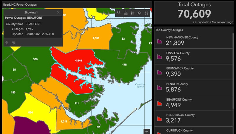
The wind threat from Dorian is listed as moderate in Beaufort County, creating an elevated risk for power and communication outages throughout the area. While the tornado threat is slightly elevated, the NWS does not predict significant impact from tornados.
Although the arrival of tropical storm force winds has been pushed back slightly, the National Weather Service says that should not delay preparations for possible impacts from Hurricane Dorian.
“Now is the time to complete your hurricane preparedness plans,” read a Wednesday morning update from the NWS.
More Hurricane Stories


SportsPlus
DFS Salaries and Projections for NFL Week 17
Prior to constructing your Week 17 DFS lineups, take a look at our projections and salaries below to…
College Basketball Picks Against the Spread: AAC Games Today, December 25
There are plenty of exciting matchups on Wednesday in AAC action, including the Charleston (SC) Cougars taking on…
Best Bets for NCAA Basketball Picks Against the Spread for Wednesday, December 25
The Oregon State Beavers versus the Nebraska Cornhuskers is a game to watch on the Wednesday college basketball…
NBA Spread and Total Picks for Today, December 25
The NBA lineup on Wednesday, which includes the Denver Nuggets squaring off against the Phoenix Suns, is sure…
Bryce Young Fantasy Projections: Week 17 vs. the Buccaneers
Quarterback Bryce Young has a matchup against the 30th-ranked pass defense in the league (250.3 yards conceded per…
-
Polls
 Loading ...
-
-